

Livrets
- Home
- Resources
- Expériences
- Shared landscapes of Loire-Authion
Shared landscapes of Loire-Authion
Published on 24 July 2017 - Updated 04 January 2021
- 2015 - 2016
Characterising the territory of a new municipality
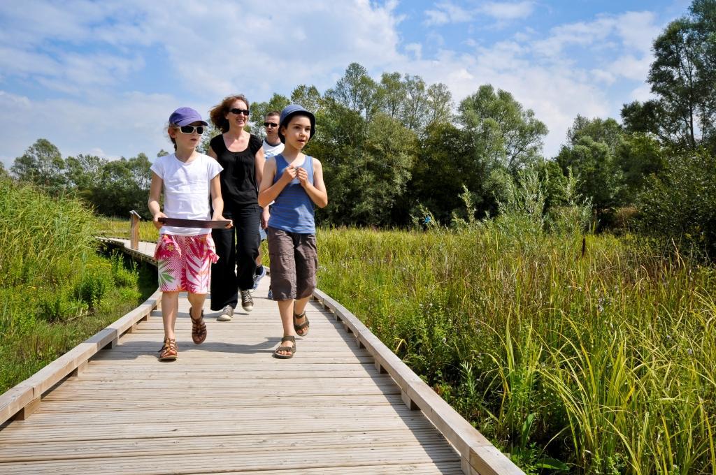
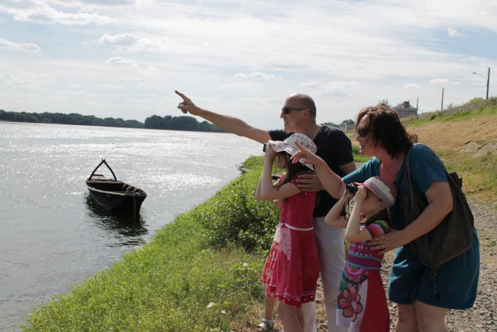
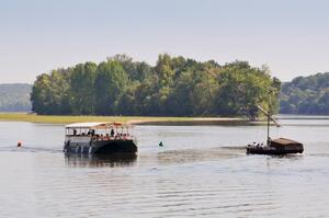
To help locals to better understand their local area and become more actively involved in it, the new municipality of Loire-Authion has teamed up with Loire-Anjou-Touraine Regional Natural Park around the “shared landscapes” initiative. This has paved the way to deliverables in terms of knowledge, interpretation, education and cultural dissemination.
Background
Organised around the Loire, the Regional Natural Park of Loire-Anjou-Touraine extends across 128 municipalities all committed to a plan to protect heritage and showcase local resources. It lends support to municipalities in applying territorial interpretation plans.
Aims
For the Loire-Authion municipality and Regional Natural Park
- Give a sense of purpose to the territory, characterise it
- Enhance the landmarks symbolising the landscape identities of Loire-Authion
- Actively engage in the territory, encourage locals to discover it
For residents
- Co-opt your living environment, examine your relationship and ties to it
- Examine your role as a citizen in landscape developments and promoting the territory
Outcome and outlook
An approach combining knowledge, interpretation, education and cultural dissemination:
- scientific inventories of heritage,
- collection of residents’ perceptions,
- edutour for tourism service providers,
- design and distribution of a booklet,
- outings, conferences, exhibitions and school projects with Anjou Maison de Loire,
- writing workshops with Denis Péan (schoolchildren, individuals and seniors), publication of a compendium of texts,
- feedback event.
- a mobile app, Les pirates de Loire, to explore the region in a fun way
188 residents given guidance
800 individuals now more aware of their territory
7,200 copies of the booklet & compendium
See More


![Nouvelles Renaissance(s] 2023](/var/storage/images/val-de-loire-refonte/dossier-de-parametrage/pied-de-page/nouvelles-renaissance-s-2023/517479-13-fre-FR/Nouvelles-Renaissance-s-2023_image_largeur220.png)