06/03/2025
[Fr] Décès de Philippe Auclerc
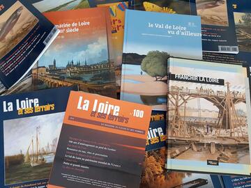
C'est avec tristesse que nous avons appris aujourd'hui le décès de Philippe Auclerc, co-fondateur de la maison d'édition "Loire et terroirs" et rédacteur...
Published on 14 January 2016 - Updated 22 January 2016
Cet article date d'il y a plus de 9 ans
The Loir-et-Cher County Archives have just digitised and uploaded this collection of 38 maps, harking back to the 1860s and completed in pen-and-ink and watercolour by the Bridges and Highways department (the current-day County Department for Local Areas). This superb collection gives an invaluable snapshot of agricultural and urban developments around the Loire in the late 19th century.
The maps therefore focus on the route covered by the River Loire, over sixty or so kilometres from Tavers (Loiret) to Mosnes (Indre-et-Loire).
At the water's edge, it is possible to make out the surrounding villages or layout of garden flowerbeds, such as those in the Château de Menars parkland. The maps have also been much annotated, indicating crop types, gardens, orchards, fallow land, sandbanks, vines, woodland and forest, buildings, streams or ponds.
A great many handwritten notes postdating the creation of these 38 maps are a reminder that the Bridges and Highways department used them as working tools right through until the 1970s.


![Nouvelles Renaissance(s] 2023](/var/storage/images/val-de-loire-refonte/dossier-de-parametrage/pied-de-page/nouvelles-renaissance-s-2023/517479-13-fre-FR/Nouvelles-Renaissance-s-2023_image_largeur220.png)