06/03/2025
[Fr] Décès de Philippe Auclerc
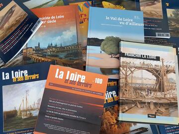
C'est avec tristesse que nous avons appris aujourd'hui le décès de Philippe Auclerc, co-fondateur de la maison d'édition "Loire et terroirs" et rédacteur...
Published on 29 November 2012 - Updated 07 December 2012
Cet article date d'il y a plus de 12 ans
The Loire Estuaire public interest group (GIP) has come up with and developed a unique interactive and intuitive online application for seeing the Loire for the first time or in a new light, from Saint-Nazaire all the way to Angers and vice-versa. This is a virtual itinerary extending over more than 140 kilometres, offered above the river and its estuary.
From recent (2008 and 2011) aerial photos taken at low altitude, at low tide and water level, it is possible to fly over the river – sometimes with 360° views – and admire the diversity and wealth of Loire Valley landscapes.
A whole host of geo-referenced information enriches these pictures, such as the islands, marshland, creeks, waterways, secondary branches, boires or dead branches, levees, the towns, villages and place names overlooking the river – whose names will show up as you move your mouse over them.
"Text, illustration, photo" inserts also feature in this itinerary, discreetly popping up along the river's meanders, telling you about the available water depths of the Loire, groins and chevrettes (prawns), the hydraulic branches of the Loire, the river's foreshores and more.
For the more contemplative among you, a guided tour lasting a few minutes is available.