06/03/2025
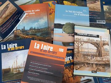
[Fr] Décès de Philippe Auclerc
C'est avec tristesse que nous avons appris aujourd'hui le décès de Philippe Auclerc, co-fondateur de la maison d'édition "Loire et terroirs" et rédacteur...
Published on 20 December 2012 - Updated 11 January 2013
Cet article date d'il y a plus de 12 ans
As part of the VITOUR Landscape project, each partner European vineyard on the World Heritage list must test out the feasibility of transferring a given best practice. In the Loire Valley, Mission Val de Loire and the Cellule Terroirs Viticoles (CTV) have joined forces with the Loire-Anjou-Touraine Regional Nature Park to test a system for mapping changes in land use developed on the Orcia Valley site in Italy.
The aim is to add a landscape component to studies on characterisation of winegrowing terroirs carried out by the CTV. Experiments are taking place in Pays d’Azay-le-Rideau. Analysis of changes in land use alongside that of the winegrowing potential of the land under study has led to formulation of an initial prospective vision of this vineyard, with a view to providing better information for planning documents and, eventually, to suggesting guidelines for local policies on protection and town planning.
An initial meeting, held in April 2012 with Massimo Carta of the University of Florence’s Urban and Territorial Planning Department and LARIST research laboratory, led to definition of the expected result – an atlas with maps depicting the various types of changes that have taken place (urbanisation, abandonment of farmland, and changes in cultivation practices).
The scope of the study was defined by the CTV and Pays d’Azay-le-Rideau, the municipalities concerned being Lignière-de-Touraine, Vallères, Azay-le-Rideau, Villaines-les-Rochers, Cheillé, Rivarennes and Rigny-Ussé. Land use data was supplied by the Loire-Anjou-Touraine RNP (for the years 1991, 2002 and 2007), complemented by various partners’ observations on and knowledge of the situation in 2012.
Results obtained: the area under study, where mixed farming is a major activity, saw vineyards losing ground as a result of farmers ceasing activity as well as of the application of the European grubbing-up premium – in particular to plots of land near built-up areas, in spite of their winegrowing potential. Transformation of such plots into building land did not begin until 2007, but has been on the increase ever since.
Analysis of (natural and anthropic) risks to the future of vineyards should be carried out within the Loire Valley UNESCO World Heritage site. A thesis project has been proposed to the Centre Region by the GéHCO laboratory (Tours University) for work on this subject and comparison of conclusions with another UNESCO site, Orcia Valley in Italy.