06/03/2025
[Fr] Décès de Philippe Auclerc
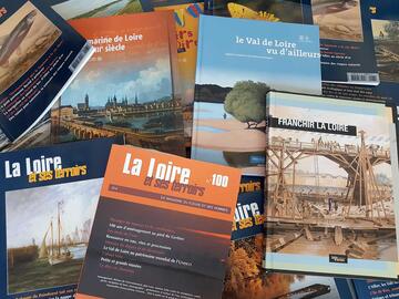
C'est avec tristesse que nous avons appris aujourd'hui le décès de Philippe Auclerc, co-fondateur de la maison d'édition "Loire et terroirs" et rédacteur...
Published on 24 November 2005 - Updated 22 December 2010
Cet article date d'il y a plus de 19 ans
A starting point for sharing tools for observing the Loire and its surrounding area, the cartographic atlas of the Val de Loire aims to provide a snapshot of the physical, demographic, cultural and economic reality of the river corridor.


![Nouvelles Renaissance(s] 2023](/var/storage/images/val-de-loire-refonte/dossier-de-parametrage/pied-de-page/nouvelles-renaissance-s-2023/517479-13-fre-FR/Nouvelles-Renaissance-s-2023_image_largeur220.png)