25/04/2024
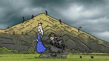
[Fr] Portraits de Loire au XVIIIe siècle
À partir de documents d'époque, la websérie “Portraits de Loire au XVIIIe siècle” plonge dans cette période de l'histoire, parcourt le paysage...
Published on 20 August 2013 - Updated 11 September 2013
Cet article date d'il y a plus de 10 ans
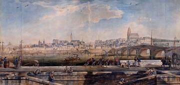
To produce the 1st edition of this tourist map, with a print run of 80,000 copies, four tourist information offices have clubbed together: Loire Layon, Pays d’Ancenis and Une autre Loire with the participation of the Vignoble de Nantes Tourist Information Office.
For the 2013 season, they have grouped together the very best their regions have to offer in a colourful, eye-catching map thatoffers a whole host of activities near the Loire, between two major urban centres: Angers and Nantes.
Bien reçu !
Nous vous répondrons prochainement.
L’équipe de la Mission Val de Loire.


![Nouvelles Renaissance(s] 2023](/var/storage/images/val-de-loire-refonte/dossier-de-parametrage/pied-de-page/nouvelles-renaissance-s-2023/517479-13-fre-FR/Nouvelles-Renaissance-s-2023_image_largeur220.png)