06/03/2025
[Fr] Décès de Philippe Auclerc
C'est avec tristesse que nous avons appris aujourd'hui le décès de Philippe Auclerc, co-fondateur de la maison d'édition "Loire et terroirs" et rédacteur...
Published on 20 August 2013 - Updated 11 September 2013
Cet article date d'il y a plus de 11 ans
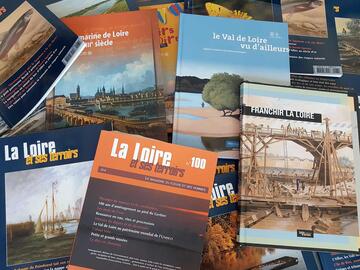
To produce the 1st edition of this tourist map, with a print run of 80,000 copies, four tourist information offices have clubbed together: Loire Layon, Pays d’Ancenis and Une autre Loire with the participation of the Vignoble de Nantes Tourist Information Office.
For the 2013 season, they have grouped together the very best their regions have to offer in a colourful, eye-catching map thatoffers a whole host of activities near the Loire, between two major urban centres: Angers and Nantes.


![Nouvelles Renaissance(s] 2023](/var/storage/images/val-de-loire-refonte/dossier-de-parametrage/pied-de-page/nouvelles-renaissance-s-2023/517479-13-fre-FR/Nouvelles-Renaissance-s-2023_image_largeur220.png)