06/03/2025
[Fr] Décès de Philippe Auclerc
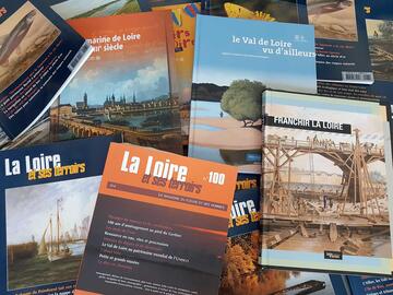
C'est avec tristesse que nous avons appris aujourd'hui le décès de Philippe Auclerc, co-fondateur de la maison d'édition "Loire et terroirs" et rédacteur...
Published on 18 January 2012 - Updated 25 January 2012
Cet article date d'il y a plus de 13 ans
François Legouy, lecturer and head of the geography faculty at Orléans University, has published this article in the online scientific review "Projets de paysage" on 04/01/2012. His approach involves starting out with the landscape model in the Loire Valley as a landscape block diagram, drawn up by the Mission Val de Loire, and comparing it to the actual landscape before our eyes.
His conclusions are an overall stamp of approval for the model which forms "a very concise landscape summary". But he sees the disappearance of vines between Orléans and Tours as due less to urbanisation and more to "the absence of AOC quality-accredited vineyards, following a fundamental shift in popular wine production from the 17th century onwards". And yet the vine still possesses "a strong symbolic connotation of heritage that goes far beyond its actual reality".