06/03/2025
[Fr] Décès de Philippe Auclerc
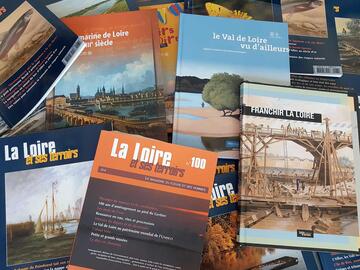
C'est avec tristesse que nous avons appris aujourd'hui le décès de Philippe Auclerc, co-fondateur de la maison d'édition "Loire et terroirs" et rédacteur...
Published on 19 August 2013 - Updated 11 September 2013
Cet article date d'il y a plus de 11 ans
Initially developed in 2007 for PDA, Cyclopédia®, a multimedia guide & GPS for exploring the Loire Valley World Heritage between Gennes and Montjean-sur-Loire, is now available as a mobile application. This smartphone app was designed by Camineo and Anjou Tourisme (County Tourist Board & Federation of tourist information offices in Anjou).
With an integrated map, photos and visual or sound commentaries automatically triggered via the GPS, Cyclopédia® guides cyclists for exploring the natural and cultural wealth of the Loire Valley: recognising the song of a symbolic Loire bird in the Anjou region, listening to the personal account of an inhabitant talking about this river breaking its banks or the interview of one of the last professional Loire fishermen, observing a typical plant of the sandbanks, interpreting a landscape and much more…


![Nouvelles Renaissance(s] 2023](/var/storage/images/val-de-loire-refonte/dossier-de-parametrage/pied-de-page/nouvelles-renaissance-s-2023/517479-13-fre-FR/Nouvelles-Renaissance-s-2023_image_largeur220.png)